Historical
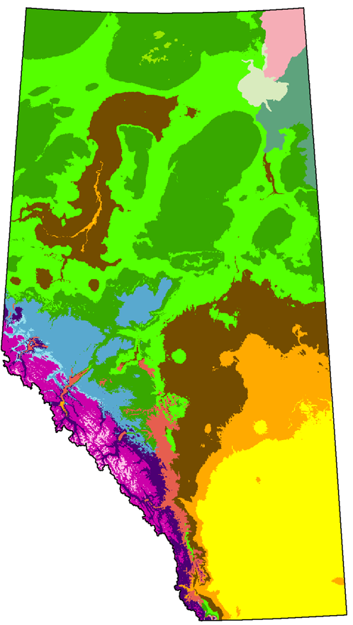
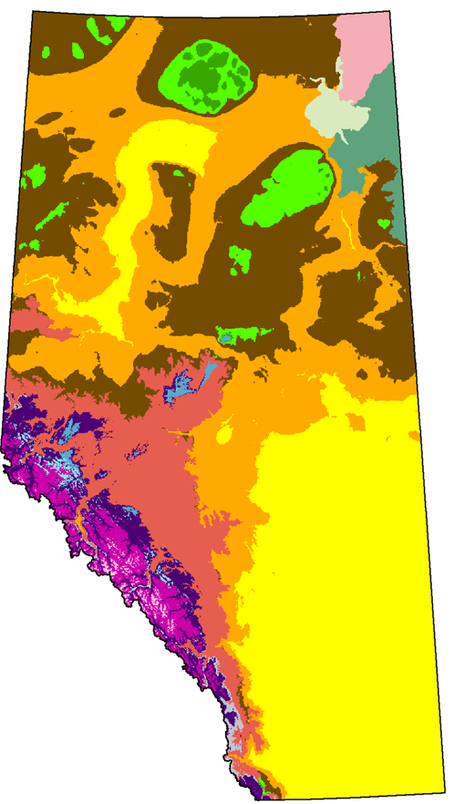
2050’s
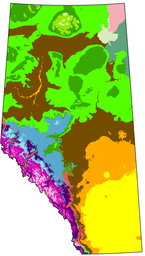
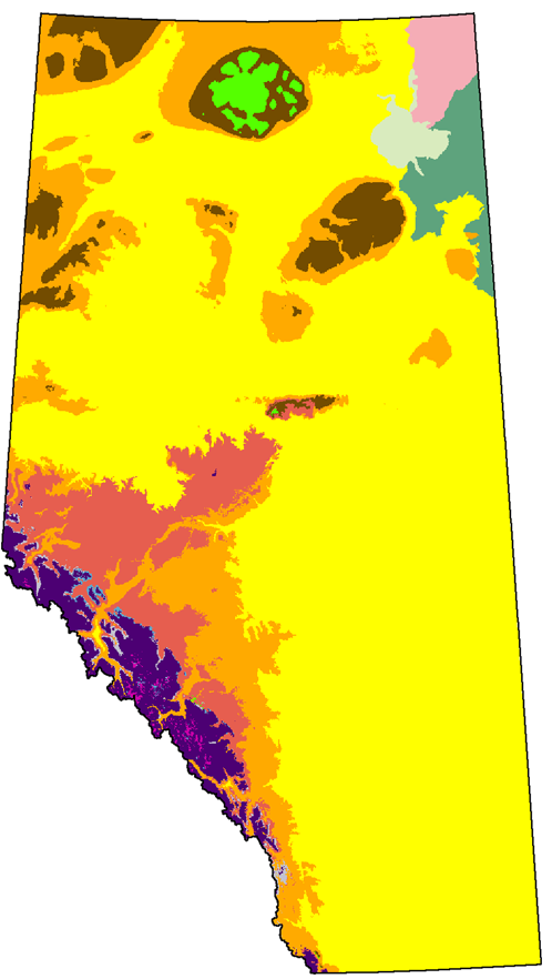
2080’s
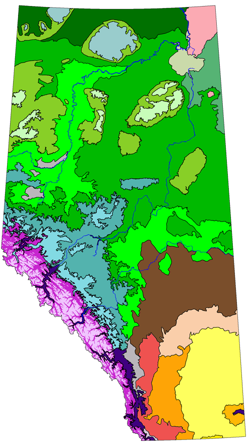
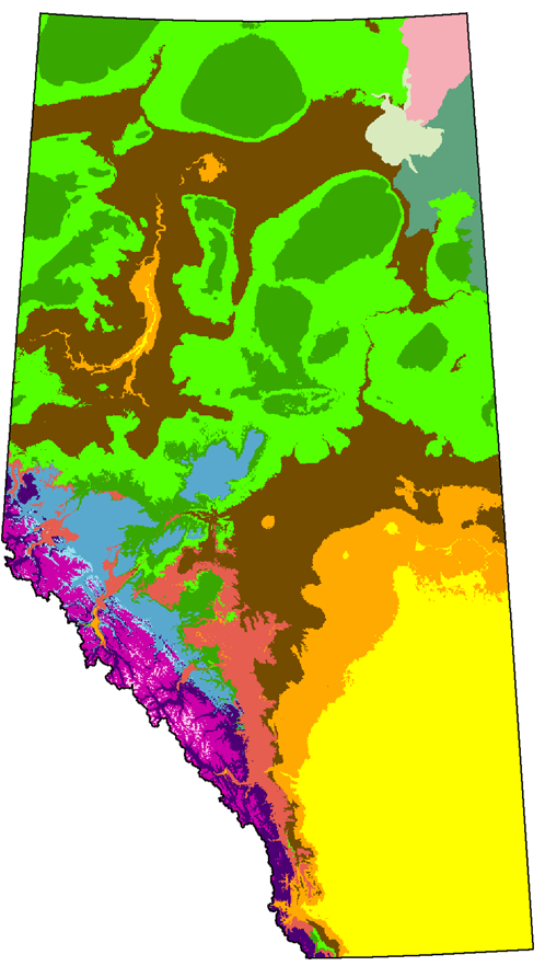
Alpine
Athabasca Plain
Boreal Subarctic
Central Mixedwood
Central Parkland
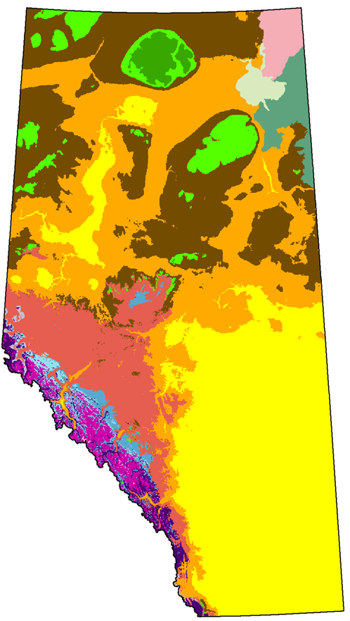
Dry Mixedgrass
Dry Mixedwood
Foothills Fescue
Kazan Uplands
Lower B. Highlands
Lower Foothills
Mixedgrass
Montane
Northern Mixedwood
Northern Fescue
Peace-Athab, Delta
Subalpine
Upper B. Highlands
Upper Foothills