Resources

Our Map Galleries - This project is no longer actively supported. Information and resources are current as of 2016 and are archived here for informational purposes.

BACK

Modelling and Mapping Species Distributions

borel bird
MAP GALLERY  |  Boreal Song Birds
Map Galleries
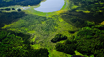
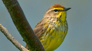
Boreal songbirds are likely to shift their distributions northward and upslope in response to rapid climate change over the next century. This map gallery contains detailed projections of distribution and density for 80 boreal-breeding songbirds based on current and projected future climate, current land use, and topography.
VISIT
rare plants
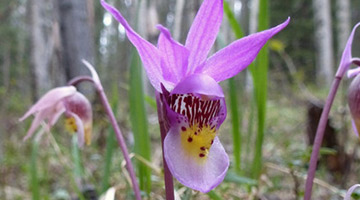
MAP GALLERY  |  Alberta’s Rare Plant Species
Map Galleries
The Alberta Species Conservation Atlas contains predictive maps of the distribution and potential habitat of the province’s rare species under current and projected future climates (and more!).
VISIT
natural subregions
MAP GALLERY  |  Alberta’s Natural Subregions
Map Galleries
The distribution of Alberta’s regional ecosystems, such as the Grassland, Parkland and Boreal, is strongly linked to climate factors like temperature, growing season length, and moisture balance. Because of these close connections, the distribution of these ecosystems has responded to past changes in climate, and will respond to future climate change as well.
VISIT

Historical

2050’s

2080’s